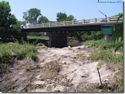
A sunny July 1st provided an opportunity to get a close up look at two places in the Yucatan Valley heavily damaged by the flooding on June 23rd. First up is the bridge at the junction of County 4 and Hwy 76 which was the object of much government concern during the flood.
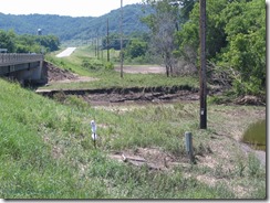
All the waters funneled to this location during the flood and exerted more force than I saw elsewhere. Approaching the bridge from County 4, you can see a damaged field and water left behind. The bank has been carved out more and there is an object sticking out of the ground with a plastic bag over it.
No, it isn’t debris. That’s a fiber optic cable that was severed by the flooding. It actually goes under the creek rather than on the bridge. Why was this done? To avoid being damaged by flooding. Best laid plans of mice and men…
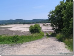
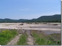
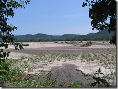
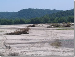
It isn’t until you crest the hill to make the turn that the dramatic view is seen. A vast cornfield has been obliterated leaving sand and trees behind. The tractor path down reveals the wasteland that used to be very fertile soil with young corn plants growing in it.
Tractor tracks give a sense of scale to the photographs as do the few surviving corn plants. Sand isn’t good for growing crops, so I suspect it will all have to be removed for future growing seasons. The trees will have to go, of course.
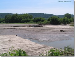
What impressed me was the deep gouges carved through parts of the field. A muddy pond fills one and the drop off is around two feet to the water. Another foot to the bottom of the water makes it about a yard or meter deep. That’s guessing, not actually measuring.
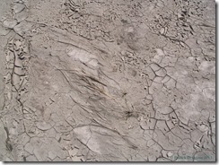
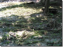
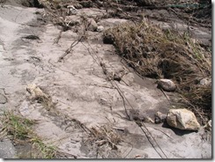
Small plants are imbedded in the cracking earth like fossils in stone. Venturing into the wilder parts by the bridge I found every plant leveled and small trees partially or completely uprooted.
What at first glance appeared to be an uncovered wire turned out to be a root stretched taut. Once I noticed the first one, I realized there were many like it and that I had to watch my step even more than I already was.
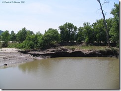
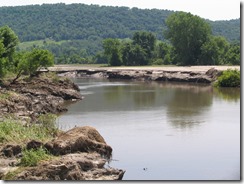
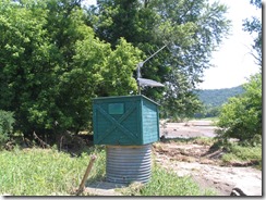
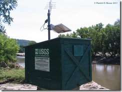
The South Fork of the Root River is a lot wider at this location than it was before. Even so, it is nothing approaching the size it hit during the flood. Check out the green box on the right.
Seeing that standing there in the midst of the damage, I had to check it out. That’s a USGS stream gaging station and its data can be found here. Yeah, those numbers are pretty impressive during the flood going from 2 feet to over 14 feet in a day.
Now for something closer to home.
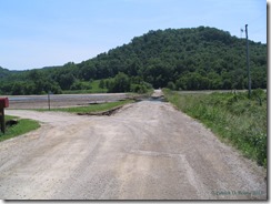
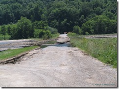
Our favorite shortcut to Caledonia is by way of Cut Across Road. We knew it had been damaged, but my father and I figured it was only closed to through traffic and the Subaru is great for iffy roads. So we headed for Caledonia and I noticed the road was pretty battered but looked to be in very bad shape further ahead.
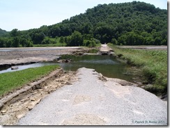
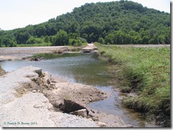
Now that is what I call a closed road. It had to be closed because a huge chunk of it simply doesn’t exist anymore.
Getting close to the damage means going on foot and the sound of running water made quite an impression on me. A week later and the water is still draining out of the fields into the gap.
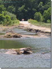
Using the zoom on my old but decent Canon Powershot S1 IS presented the damage on the far end of Cut Across Road. The exposed culvert had no possible chance of dealing with this huge mass of water. It is going to be a long time before that road gets repaired.
Stills don’t give a full picture of the damage, so I took a very brief video to give better perspective.
So ends my last post on the flooding barring anything new happening.

No comments:
Post a Comment